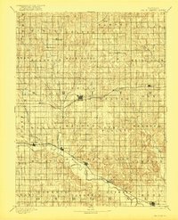
1893 Map of Smith Center
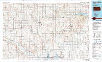
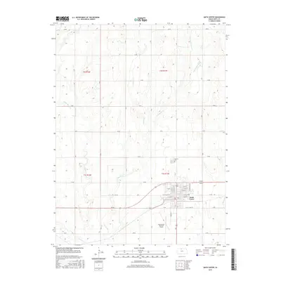
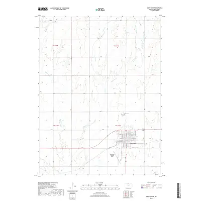
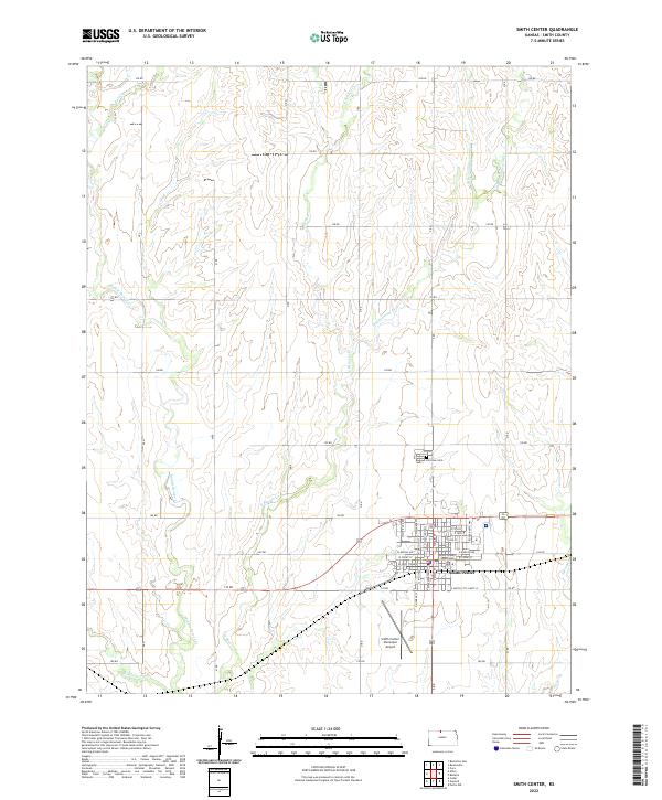
USGS Topo · Published 1922About this map
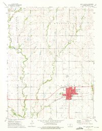
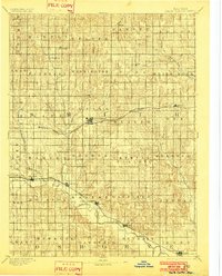
The Chicago Rock Island and Pacific Railway cuts a direct horizontal line across the high plains, anchoring the growth of Smith Center and smaller stations like Athol and Lebanon. Surveyed in the late nineteenth century, this map documents a grid of established townships such as Crystal Plains, Banner, and White Rock. The southern portion of the county follows the winding course of the North Fork Solomon River, where river-valley settlements like Cedarville, Gaylord, and Harlan emerged along the fertile bottomlands. These towns were vital early trade centers before the rail network fully centralized regional commerce. Farther north, the landscape is defined by the drainage basins of Beaver Creek and its branches, illustrating the homesteading patterns that followed the water across the open prairie. Small communities like Jacksonburg and Cora appear at a time when local post offices and schools served a dense population of farmsteaders.
Find a feature on this map
55 named features on this map. Tap any name to fly to it.
Don’t see what you’re looking for? This feature index may not catch every label — zoom into the map to look around manually.
Map Details
Editions of this 1893 Smith Center Map
3 editions found

Historical Maps of Smith Center Through Time
8 maps found