
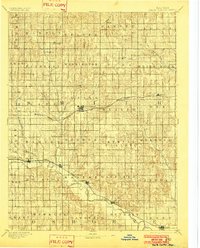
1893 Map of Smith Center
USGS Topo · Published 1893About this map
The North Fork Solomon River carves through the southern reaches of this landscape, anchoring a corridor of late-nineteenth-century settlement that includes Gaylord, Harlan, and Portis. This 1891 survey reveals a maturing agricultural county organized into a rigid grid of townships such as German, Pawnee, and Houston. The expansion of rail infrastructure is central to the era, with the Chicago Rock Island and Pacific Railway cutting east-to-west through Smith Center and the Missouri Pacific Railway serving the river valley to the south.
Find a feature on this map
57 named features on this map. Tap any name to fly to it.
Don’t see what you’re looking for? This feature index may not catch every label — zoom into the map to look around manually.
Map Details
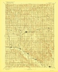
Editions of this 1893 Smith Center Map
3 editions found
Other maps of this area

1893 · Phillipsburg
USGS Topo · 1:125,000

1894 · Mankato
USGS Topo · 1:125,000

1894 · Beloit
USGS Topo · 1:125,000

1896 · Holdrege
USGS Topo · 1:125,000

1896 · Osborne
USGS Topo · 1:125,000

1896 · Plainville
USGS Topo · 1:125,000

1897 · Red Cloud
USGS Topo · 1:125,000

1898 · Superior
USGS Topo · 1:125,000

1940 · Red Cloud
USGS Topo · 1:62,500

1942 · Red Cloud
USGS Topo · 1:62,500