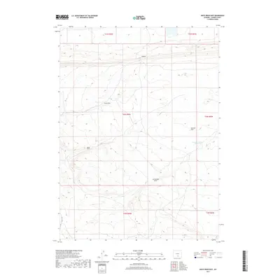
2017 Map of Smith Draw East
USGS Topo · Published 2017About this map
Smith Draw and several significant ephemeral drainages carve through this high-altitude landscape in Carbon County, Wyoming. The terrain is defined by distinct geologic features such as the Hogback and the steep incline of Hugus Cliff in the southwest. This area reflects a classic Wyoming ranching environment where water management is critical for land use, evidenced by the presence of the Johnston Number 2 Reservoir and the naming of broad areas like Severson Flats. These family-named landmarks and geographic features provide specific points of reference for those researching local land-use history and ranching lineage in this part of the state. The network of seasonal watercourses, including Hugus Draw and Iron Springs Draw, illustrates the natural drainage patterns that have historically dictated human movement and settlement in the region.
Find a feature on this map
13 named features on this map. Tap any name to fly to it.
Don’t see what you’re looking for? This feature index may not catch every label — zoom into the map to look around manually.
Map Details
Editions of this 2017 Smith Draw East Map
This is the sole edition of this map. No revisions or reprints were ever made.
Other maps of this area

1893 · Fort Steele
USGS Topo · 1:125,000

1914 · Walcott
USGS Topo · 1:62,500

1953 · Sinclair
USGS Topo · 1:24,000

1953 · Rawlins
USGS Topo · 1:24,000

1954 · Rawlins
USGS Topo · 1:250,000

1955 · Overland Crossing
USGS Topo · 1:24,000

1955 · Savage Ranch
USGS Topo · 1:24,000

1956 · Bolten Ranch
USGS Topo · 1:62,500

1958 · Rawlins
USGS Topo · 1:250,000

1962 · Rawlins
USGS Topo · 1:250,000