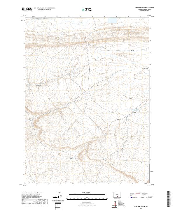
2021 Map of Smith Draw East
USGS Topo · Published 2021About this map
The Hogback ridge dominates the northern landscape of this Carbon County region, marking a stark geographic transition above the winding path of Smith Draw. This area of Wyoming is defined by its drainage patterns and high-plains basins, where seasonal water management is critical for land use. The presence of the Johnston Number 2 Reservoir in the eastern portion of the map highlights the infrastructure required for water storage in this arid environment. Significant natural depressions and erosion features like Severson Flats and Iron Springs Draw illustrate the complex topography carved by environmental forces over time. Along the western edge, the steep elevation changes of Hugus Cliff provide a dramatic backdrop to the drainage at Hugus Draw, showcasing the varied terrain typical of this high-elevation Wyoming plateau.
Find a feature on this map
13 named features on this map. Tap any name to fly to it.
Don’t see what you’re looking for? This feature index may not catch every label — zoom into the map to look around manually.
Map Details
Editions of this 2021 Smith Draw East Map
This is the sole edition of this map. No revisions or reprints were ever made.
Other maps of this area

1893 · Fort Steele
USGS Topo · 1:125,000

1914 · Walcott
USGS Topo · 1:62,500

1953 · Sinclair
USGS Topo · 1:24,000

1953 · Rawlins
USGS Topo · 1:24,000

1954 · Rawlins
USGS Topo · 1:250,000

1955 · Overland Crossing
USGS Topo · 1:24,000

1955 · Savage Ranch
USGS Topo · 1:24,000

1956 · Bolten Ranch
USGS Topo · 1:62,500

1958 · Rawlins
USGS Topo · 1:250,000

1962 · Rawlins
USGS Topo · 1:250,000