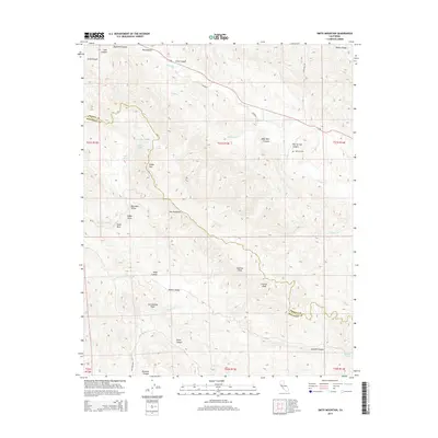
2015 Map of Smith Mountain
USGS Topo · Published 2015About this map
The Diablo Range dominates this mid-2010s landscape along the border of Fresno and Monterey Counties, where the geologic power of the San Andreas Fault has shaped the rugged canyons and ridges of the Central Coast. The topography is defined by significant elevations like Smith Mtn, Squaw Peak, and the jagged formation known as The Pinnacles. Local history is anchored by the Warthan Cem situated near Warthan Cr, which winds through the northern portion of the quadrangle alongside Coalinga Rd. The map reveals a remote, water-carved environment where numerous seasonal drainages such as Jacalitos Cr and Pancho Rico Cr intersect with family-named landmarks and historical grazing lands like Bourdieu Valley and Hidden Valley.
Find a feature on this map
46 named features on this map. Tap any name to fly to it.
Don’t see what you’re looking for? This feature index may not catch every label — zoom into the map to look around manually.
Map Details
Editions of this 2015 Smith Mountain Map
This is the sole edition of this map. No revisions or reprints were ever made.
Other maps of this area

1912 · Coalinga
USGS Topo · 1:125,000

1914 · Cholame
USGS Topo · 1:125,000

1915 · Priest Valley
USGS Topo · 1:125,000

1915 · Cholame
USGS Topo · 1:125,000

1917 · Cholame
USGS Topo · 1:125,000

1919 · San Miguel
USGS Topo · 1:62,500

1941 · Priest Valley
USGS Topo · 1:62,500

1942 · Parkfield
USGS Topo · 1:24,000
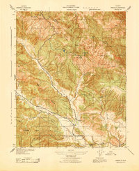
1943 · Parkfield
USGS Topo · 1:31,680
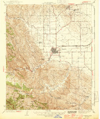
1944 · Coalinga
USGS Topo · 1:62,500