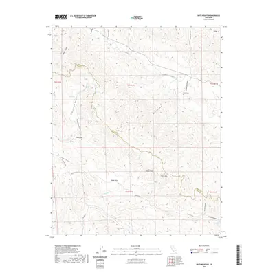
2021 Map of Smith Mountain
USGS Topo · Published 2021About this map
Bourdieu Valley and the high ridges of the Diablo Range define this high-elevation landscape along the boundary of Fresno and Monterey counties. This interior coastal range terrain is carved by complex drainage systems including Warthan Cr and Jacalitos Cr, which flow through steep-walled canyons like Deep Well Canyon and Buzzard Canyon. The map reveals a land structured by topography and isolated springs, where Sulphur Spring and Taylor Spring provided critical water sources in an otherwise arid environment. Local history and genealogy interest is anchored by the Warthan Cem located near the northern reaches of Hot Springs Canyon. Notable landmarks such as The Pinnacles and Eagle Rock rise above the ridgelines, while low-lying areas like Hidden Valley and Slack Canyon suggest pockets of grazing or early settlement activity away from the more traveled Stone Canyon Rd.
Find a feature on this map
45 named features on this map. Tap any name to fly to it.
Don’t see what you’re looking for? This feature index may not catch every label — zoom into the map to look around manually.
Map Details
Editions of this 2021 Smith Mountain Map
This is the sole edition of this map. No revisions or reprints were ever made.
Other maps of this area

1912 · Coalinga
USGS Topo · 1:125,000

1914 · Cholame
USGS Topo · 1:125,000

1915 · Priest Valley
USGS Topo · 1:125,000

1915 · Cholame
USGS Topo · 1:125,000

1917 · Cholame
USGS Topo · 1:125,000

1919 · San Miguel
USGS Topo · 1:62,500

1941 · Priest Valley
USGS Topo · 1:62,500

1942 · Parkfield
USGS Topo · 1:24,000
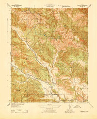
1943 · Parkfield
USGS Topo · 1:31,680
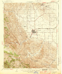
1944 · Coalinga
USGS Topo · 1:62,500