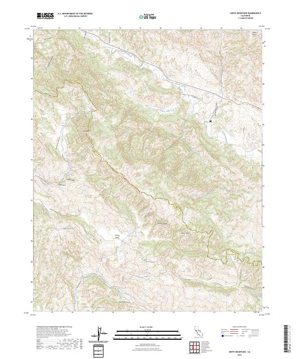
2023 Map of Smith Mountain
USGS Topo · Published 2023About this map
The Diablo Range dominates this corner of the California coast ranges, where the border between Fresno County and Monterey County winds through a complex series of ridges and deep-cut canyons. The landscape is defined by its dramatic relief, featuring prominent summits such as Smith Mtn, Ho'tay Peak, and Andrews Peak. These peaks overlook secluded basins like Bourdieau Valley and Hidden Valley, while the drainage of Warthan Creek provides a primary corridor through the hills.
Find a feature on this map
46 named features on this map. Tap any name to fly to it.
Don’t see what you’re looking for? This feature index may not catch every label — zoom into the map to look around manually.
Map Details
Editions of this 2023 Smith Mountain Map
This is the sole edition of this map. No revisions or reprints were ever made.
Other maps of this area

1912 · Coalinga
USGS Topo · 1:125,000

1914 · Cholame
USGS Topo · 1:125,000

1915 · Priest Valley
USGS Topo · 1:125,000

1915 · Cholame
USGS Topo · 1:125,000

1917 · Cholame
USGS Topo · 1:125,000

1919 · San Miguel
USGS Topo · 1:62,500

1941 · Priest Valley
USGS Topo · 1:62,500

1942 · Parkfield
USGS Topo · 1:24,000
1943 · Parkfield
USGS Topo · 1:31,680
1944 · Coalinga
USGS Topo · 1:62,500