
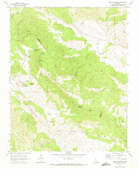
1969 Map of Smith Mountain
USGS Topo · Published 1987About this map
The San Andreas Rift Zone bisects this section of the California Coast Ranges, creating a complex geography where the boundaries of Fresno and Monterey counties converge. This interior landscape is defined by the canyon systems of Warthan Creek and Jacalitos Creek, which cut through the high ground of Smith Mountain and the distinct formations of The Pinnacles. Evidence of early 20th-century resource extraction and remote settlement appears through the Stone Canyon Mine and the quiet presence of Warthan Cem. Transportation in the late 1960s was limited to the Coalinga Mineral Springs Road and various rugged tracks, including a Jeep Trail winding through Slack Canyon. The map identifies small localities such as Wayland and Nelson, alongside various water sources like Sulphur Spring and Eric Spring that were vital to this arid terrain.
Find a feature on this map
39 named features on this map. Tap any name to fly to it.
Don’t see what you’re looking for? This feature index may not catch every label — zoom into the map to look around manually.
Map Details
Editions of this 1969 Smith Mountain Map
2 editions found
Other maps of this area

1912 · Coalinga
USGS Topo · 1:125,000

1914 · Cholame
USGS Topo · 1:125,000

1915 · Priest Valley
USGS Topo · 1:125,000

1915 · Cholame
USGS Topo · 1:125,000

1917 · Cholame
USGS Topo · 1:125,000

1919 · San Miguel
USGS Topo · 1:62,500

1941 · Priest Valley
USGS Topo · 1:62,500

1942 · Parkfield
USGS Topo · 1:24,000

1943 · Parkfield
USGS Topo · 1:31,680
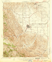
1944 · Coalinga
USGS Topo · 1:62,500