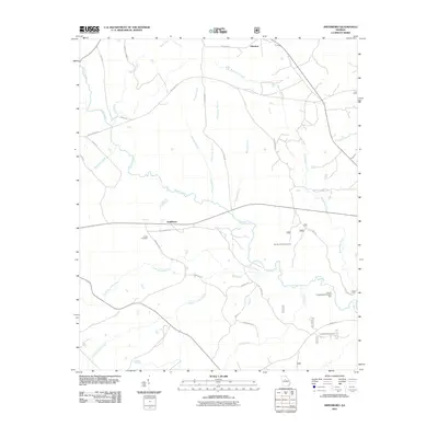
2011 Map of Smithboro
USGS Topo · Published 2011About this map
Murder Creek carves a significant path through this rural Jasper County landscape, anchoring a network of tributaries including Beaverdam Creek, Wolf Creek, and Whitehouse Branch. The settlement of Smithboro sits central to the map, connected by a web of local routes like Smithboro Rd and Apt To Miss Rd. Near the northern border, the community of Aikenton marks another historical node in this quiet agricultural and forested region.
Find a feature on this map
33 named features on this map. Tap any name to fly to it.
Don’t see what you’re looking for? This feature index may not catch every label — zoom into the map to look around manually.
Map Details
Editions of this 2011 Smithboro Map
This is the sole edition of this map. No revisions or reprints were ever made.
Other maps of this area

1953 · Athens
USGS Topo · 1:250,000

1958 · Athens
USGS Topo · 1:250,000

1959 · Athens
USGS Topo · 1:250,000

1963 · Athens
USGS Topo · 1:250,000

1964 · Stanfordville
USGS Topo · 1:24,000

1964 · Hillsboro
USGS Topo · 1:24,000

1972 · Monticello
USGS Topo · 1:24,000

1972 · Eatonton
USGS Topo · 1:24,000

1972 · Shady Dale
USGS Topo · 1:24,000
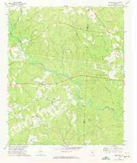
1972 · Smithboro
USGS Topo · 1:24,000