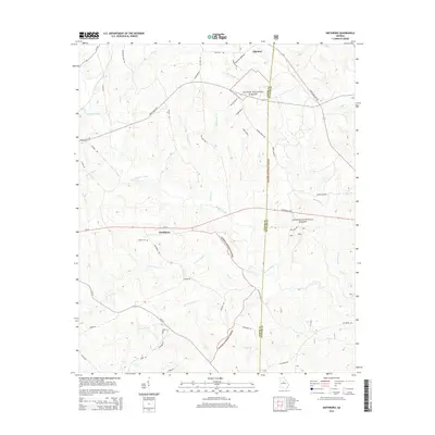
2014 Map of Smithboro
USGS Topo · Published 2014About this map
The Oconee National Forest covers much of this central Georgia landscape, where the rural crossroads of Smithboro and Aikenton serve as the primary landmarks. The terrain is deeply defined by a dense network of watercourses, including the central path of Murder Creek and the divided headwaters of N Fork Wolf Cr and S Fork Wolf Cr. This hydrography suggests a historically well-watered region where land divisions often followed the natural winding of creeks and branches.
Find a feature on this map
51 named features on this map. Tap any name to fly to it.
Don’t see what you’re looking for? This feature index may not catch every label — zoom into the map to look around manually.
Map Details
Editions of this 2014 Smithboro Map
This is the sole edition of this map. No revisions or reprints were ever made.
Other maps of this area

1953 · Athens
USGS Topo · 1:250,000

1958 · Athens
USGS Topo · 1:250,000

1959 · Athens
USGS Topo · 1:250,000

1963 · Athens
USGS Topo · 1:250,000

1964 · Stanfordville
USGS Topo · 1:24,000

1964 · Hillsboro
USGS Topo · 1:24,000

1972 · Monticello
USGS Topo · 1:24,000

1972 · Eatonton
USGS Topo · 1:24,000

1972 · Shady Dale
USGS Topo · 1:24,000
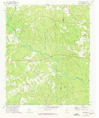
1972 · Smithboro
USGS Topo · 1:24,000