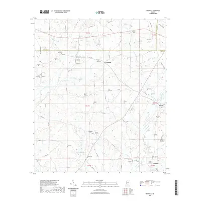
2020 Map of Smithdale
USGS Topo · Published 2020About this map
Smithdale sits at the heart of this rural landscape in southwest Mississippi, where the headwaters of the W Fork Amite River and East Fork Amite River begin their southward descent. The settlement pattern is defined by small, family-associated communities such as Mount Olive, Hustler, and Thompson, linked by a network of rural roads like the Chathaw Path and Starvation Plantation Rd.
Find a feature on this map
106 named features on this map. Tap any name to fly to it.
Don’t see what you’re looking for? This feature index may not catch every label — zoom into the map to look around manually.
Map Details
Editions of this 2020 Smithdale Map
This is the sole edition of this map. No revisions or reprints were ever made.
Other maps of this area

1953 · Natchez
USGS Topo · 1:250,000

1956 · Natchez
USGS Topo · 1:250,000

1959 · Natchez
USGS Topo · 1:250,000

1961 · Liberty
USGS Topo · 1:62,500

1962 · Bude
USGS Topo · 1:62,500

1972 · West Lincoln
USGS Topo · 1:24,000

1972 · Smithdale
USGS Topo · 1:24,000

1972 · Little Springs
USGS Topo · 1:24,000

1972 · Auburn
USGS Topo · 1:24,000

1972 · Peoria
USGS Topo · 1:24,000