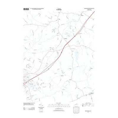
2013 Map of Smithfield
USGS Topo · Published 2013About this map
CSX Transportation tracks cut a diagonal path through this part of Kentucky, connecting a string of small rural communities that define the local geography. Settlements like Smithfield, Jericho, and Pendleton are anchored by this rail corridor, while the surrounding landscape is shaped by the winding Little Kentucky River and Harrods Cr. This 2013 survey illustrates a transition between established agricultural lands and more modern developments, visible in the cluster of residential streets around Crystal Lake and Land N Lake.
Find a feature on this map
133 named features on this map. Tap any name to fly to it.
Don’t see what you’re looking for? This feature index may not catch every label — zoom into the map to look around manually.
Map Details
Editions of this 2013 Smithfield Map
This is the sole edition of this map. No revisions or reprints were ever made.
Other maps of this area

1928 · New Castle
USGS Topo · 1:48,000

1932 · New Castle
USGS Topo · 1:62,500

1932 · La Grange
USGS Topo · 1:62,500

1939 · Bethlehem
USGS Topo · 1:24,000

1948 · Bethlehem
USGS Topo · 1:24,000

1951 · Crestwood
USGS Topo · 1:24,000

1952 · Campbellsburg
USGS Topo · 1:24,000

1953 · Bedford
USGS Topo · 1:24,000

1953 · Bethlehem
USGS Topo · 1:24,000

1954 · Ballardsville
USGS Topo · 1:24,000