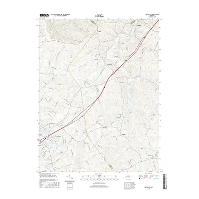
2016 Map of Smithfield
USGS Topo · Published 2016About this map
The rolling landscape of north-central Kentucky is defined here by the headwaters of several key drainage systems, including the Little Kentucky River, Harrods Creek, and the North Fork of Floyds Fork. This 2016 survey captures the transition between the urban periphery of La Grange and the more dispersed rural settlements of Smithfield, Jericho, and Sligo. The map details a high density of small family and community burial grounds, such as Hendronsville Cem, Kerlin Cem, and Smith Cem, providing essential data for genealogical research in this region.
Find a feature on this map
116 named features on this map. Tap any name to fly to it.
Don’t see what you’re looking for? This feature index may not catch every label — zoom into the map to look around manually.
Map Details
Editions of this 2016 Smithfield Map
This is the sole edition of this map. No revisions or reprints were ever made.
Other maps of this area

1928 · New Castle
USGS Topo · 1:48,000

1932 · New Castle
USGS Topo · 1:62,500

1932 · La Grange
USGS Topo · 1:62,500

1939 · Bethlehem
USGS Topo · 1:24,000

1948 · Bethlehem
USGS Topo · 1:24,000

1951 · Crestwood
USGS Topo · 1:24,000

1952 · Campbellsburg
USGS Topo · 1:24,000

1953 · Bedford
USGS Topo · 1:24,000

1953 · Bethlehem
USGS Topo · 1:24,000

1954 · Ballardsville
USGS Topo · 1:24,000