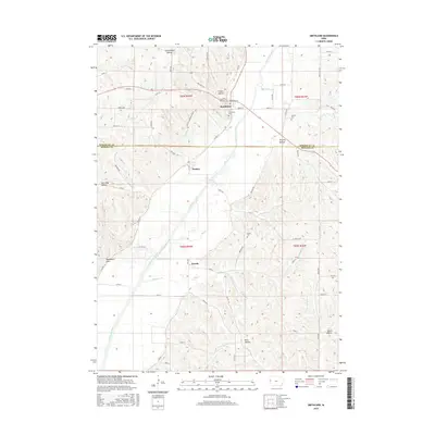
2015 Map of Smithland
USGS Topo · Published 2015About this map
Smithland and Rodney sit at the edge of the Loess Hills along the eastern bank of the Little Sioux River, anchoring a landscape where the flat alluvial plain meets a deeply dissected upland. This 2015 survey reveals the persistent geometry of early township boundaries, including the line between Woodbury Co Monona Co. The topographic detail highlights several deeply carved terrain features, such as Smoky Hollow and Poverty Hollow, which shape the local drainage into the river valley.
Find a feature on this map
48 named features on this map. Tap any name to fly to it.
Don’t see what you’re looking for? This feature index may not catch every label — zoom into the map to look around manually.
Map Details
Editions of this 2015 Smithland Map
This is the sole edition of this map. No revisions or reprints were ever made.
Other maps of this area

1954 · Fort Dodge
USGS Topo · 1:250,000

1955 · Sioux City
USGS Topo · 1:250,000

1957 · Fort Dodge
USGS Topo · 1:250,000

1958 · Sioux City
USGS Topo · 1:250,000

1958 · Fort Dodge
USGS Topo · 1:250,000

1959 · Sioux City
USGS Topo · 1:250,000

1964 · Climbing Hill
USGS Topo · 1:24,000

1969 · Mapleton
USGS Topo · 1:24,000

1969 · Castana
USGS Topo · 1:24,000

1969 · Onawa
USGS Topo · 1:24,000