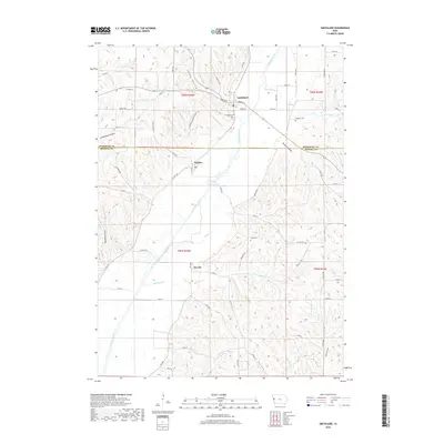
2018 Map of Smithland
USGS Topo · Published 2018About this map
The Little Sioux River meanders south through this corner of western Iowa, carving a wide valley between the dissected loess hills. The settlement of Smithland sits at the northern edge of the sheet where Weber Cr joins the river, serving as a focal point for the surrounding rural townships. Further south along the valley floor, the small communities of Rodney and Ticonic are established near the riverbanks, illustrating the historical reliance on the waterway for early transport and settlement placement.
Find a feature on this map
46 named features on this map. Tap any name to fly to it.
Don’t see what you’re looking for? This feature index may not catch every label — zoom into the map to look around manually.
Map Details
Editions of this 2018 Smithland Map
This is the sole edition of this map. No revisions or reprints were ever made.
Other maps of this area

1954 · Fort Dodge
USGS Topo · 1:250,000

1955 · Sioux City
USGS Topo · 1:250,000

1957 · Fort Dodge
USGS Topo · 1:250,000

1958 · Sioux City
USGS Topo · 1:250,000

1958 · Fort Dodge
USGS Topo · 1:250,000

1959 · Sioux City
USGS Topo · 1:250,000

1964 · Climbing Hill
USGS Topo · 1:24,000

1969 · Mapleton
USGS Topo · 1:24,000

1969 · Castana
USGS Topo · 1:24,000

1969 · Onawa
USGS Topo · 1:24,000