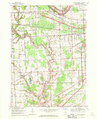
1968 Map of Smiths Creek
USGS Topo · Published 1970About this map
The Black River and Pine River carve through the landscape of eastern Michigan, anchoring a region defined by its complex drainage network and mid-century rural infrastructure. This 1968 revision reveals a community structured around the Chesapeake and Ohio railroad and a grid of township roads. Significant local landmarks like the St Clair County Airport and the Port Huron State Game Area reflect the area's transition toward specialized land use. Genealogists will find particular value in the presence of St Marys Cem and Caswell Cem, along with neighborhood schools such as Sparlingville Sch and Kimball Sch. The map records numerous named drains, including London Creek and the Holland Drain, which were vital for managing the low-lying terrain for agriculture and settlement in the townships of Kimball and ST Clair.
Find a feature on this map
68 named features on this map. Tap any name to fly to it.
Don’t see what you’re looking for? This feature index may not catch every label — zoom into the map to look around manually.
Map Details
Editions of this 1968 Smiths Creek Map
2 editions found
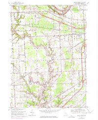
Other maps of this area

1912 · Port Huron
USGS Topo · 1:62,500

1928 · Hicky
USGS Topo · 1:62,500

1929 · Port Huron
USGS Topo · 1:62,500

1936 · St. Clair
USGS Topo · 1:31,680

1936 · Rattle Run
USGS Topo · 1:31,680

1939 · Adair
USGS Topo · 1:24,000

1939 · Port Huron
USGS Topo · 1:24,000

1939 · St. Clair
USGS Topo · 1:24,000

1939 · Smiths Creek
USGS Topo · 1:24,000

1939 · Goodells
USGS Topo · 1:24,000