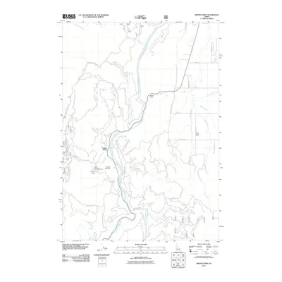
2011 Map of Smiths Ferry
USGS Topo · Published 2011About this map
The North Fork Payette River carves a central path through this Idaho corridor, defining the geography of the small settlements of Smiths Ferry and Round Valley. This 2011 survey captures a landscape shaped by both recreation and rural education, centered around the Tripod Reservoir Public Fishing Area and the Tripod Dam. Local family names and geography are preserved in the road network, including Packer John Rd and Spoor Rd, while the Round Valley School stands as a focal point for the community in the eastern flats. The terrain transitions sharply from the heights of Cougar Mountain down to the creek-fed valley floors where Chipps Creek and Bacon Creek converge near the winding Round Valley Creek.
Find a feature on this map
32 named features on this map. Tap any name to fly to it.
Don’t see what you’re looking for? This feature index may not catch every label — zoom into the map to look around manually.
Map Details
Editions of this 2011 Smiths Ferry Map
This is the sole edition of this map. No revisions or reprints were ever made.
Other maps of this area

1894 · Squaw Creek
USGS Topo · 1:125,000

1909 · Garden Valley
USGS Topo · 1:125,000

1953 · Smiths Ferry
USGS Topo · 1:62,500

1953 · Boiling Springs
USGS Topo · 1:62,500

1953 · Banks
USGS Topo · 1:62,500

1955 · Baker
USGS Topo · 1:250,000

1957 · Challis
USGS Topo · 1:250,000

1959 · Baker
USGS Topo · 1:250,000

1959 · Garden Valley
USGS Topo · 1:62,500

1960 · Challis
USGS Topo · 1:250,000