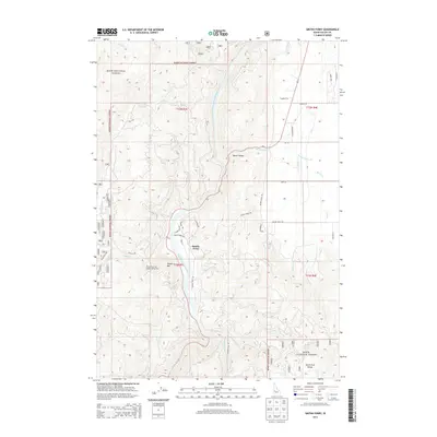
2013 Map of Smiths Ferry
USGS Topo · Published 2013About this map
The North Fork Payette River carves a deep, winding canyon through this portion of the Boise National Forest, serving as the central corridor for the settlement of Smiths Ferry. This area represents a critical passage through the high-elevation terrain of central Idaho, where narrow valley floors like Round Valley provided rare opportunities for early homesteading and road development. The presence of Tripod Reservoir and its accompanying Tripod Reservoir Public Fishing Area highlights the mid-century focus on water management and recreation in the national forest system. The surrounding peaks, including Cougar Mtn and the North Fork Range, hem in a network of drainage creeks such as Chipps Cr and Bacon Cr, which feed the main river artery. Roadways like Packer John Rd and Smiths Ferry Dr follow the natural contours of the land, tracing paths established by early settlers and forest rangers.
Find a feature on this map
63 named features on this map. Tap any name to fly to it.
Don’t see what you’re looking for? This feature index may not catch every label — zoom into the map to look around manually.
Map Details
Editions of this 2013 Smiths Ferry Map
This is the sole edition of this map. No revisions or reprints were ever made.
Other maps of this area

1894 · Squaw Creek
USGS Topo · 1:125,000

1909 · Garden Valley
USGS Topo · 1:125,000

1953 · Smiths Ferry
USGS Topo · 1:62,500

1953 · Boiling Springs
USGS Topo · 1:62,500

1953 · Banks
USGS Topo · 1:62,500

1955 · Baker
USGS Topo · 1:250,000

1957 · Challis
USGS Topo · 1:250,000

1959 · Baker
USGS Topo · 1:250,000

1959 · Garden Valley
USGS Topo · 1:62,500

1960 · Challis
USGS Topo · 1:250,000