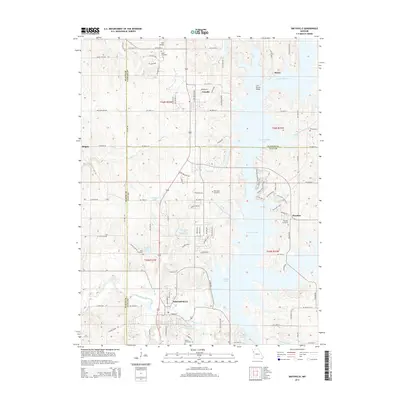
2015 Map of Smithville
USGS Topo · Published 2015About this map
Smithville Lake dominates this Missouri landscape, its dendritic shoreline reaching into the surrounding farmsteads and residential developments of Clay and Clinton counties. The city of Smithville sits at the southern end of this reservoir system, where the Little Platte River is managed alongside urban features like Helvey Park Lake and Brooks Cemetery. Further north, smaller settlements like Mecca and Paradise are situated near the fingers of the lake, maintaining their identity even as the water transformed the valley topography.
Find a feature on this map
69 named features on this map. Tap any name to fly to it.
Don’t see what you’re looking for? This feature index may not catch every label — zoom into the map to look around manually.
Map Details
Editions of this 2015 Smithville Map
This is the sole edition of this map. No revisions or reprints were ever made.
Other maps of this area

1890 · Kansas City
USGS Topo · 1:125,000

1894 · Kansas City
USGS Topo · 1:125,000

1894 · Independence
USGS Topo · 1:125,000

1914 · Smithville
USGS Topo · 1:62,500

1925 · Gower
USGS Topo · 1:62,500

1925 · Plattsburg
USGS Topo · 1:62,500

1936 · Kearney
USGS Topo · 1:48,000

1942 · Kearney
USGS Topo · 1:62,500

1945 · Kearney
USGS Topo · 1:62,500
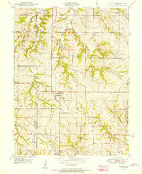
1948 · Nashua
USGS Topo · 1:24,000