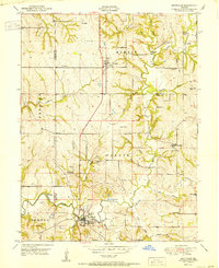
1951 Map of Smithville
USGS Topo · Published 1951About this map
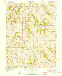
Smithville sits at the southern edge of this mid-century Missouri landscape, where the confluence of several streams meets the Little Platte River. The area is characterized by a dense network of rural infrastructure, featuring numerous small schoolhouses like Stony Point School, Lott School, and Fry School that served the agricultural community. Several family-named cemeteries, including Reed Cemetery and Davenport Cemetery, are scattered across the terrain, providing significant value for genealogists tracing regional history.
Find a feature on this map
38 named features on this map. Tap any name to fly to it.
Don’t see what you’re looking for? This feature index may not catch every label — zoom into the map to look around manually.
Map Details
Editions of this 1951 Smithville Map
2 editions found

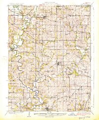
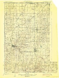
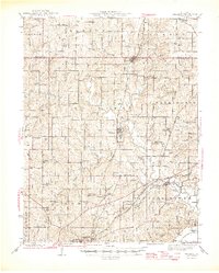
Other maps of this area

1890 · Kansas City
USGS Topo · 1:125,000

1894 · Kansas City
USGS Topo · 1:125,000

1894 · Independence
USGS Topo · 1:125,000

1914 · Smithville
USGS Topo · 1:62,500
1925 · Gower
USGS Topo · 1:62,500
1925 · Plattsburg
USGS Topo · 1:62,500

1936 · Kearney
USGS Topo · 1:48,000

1942 · Kearney
USGS Topo · 1:62,500
1945 · Kearney
USGS Topo · 1:62,500
1948 · Nashua
USGS Topo · 1:24,000