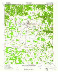
1960 Map of Smithville
USGS Topo · Published 1961About this map
Smithville serves as the central hub of this 1960 survey, situated amidst a landscape of deep hollows and rising ridges in DeKalb County. The town's grid extends toward Colverts Lake and a local Airport, while the surrounding countryside is defined by the winding reaches of Center Hill Reservoir and numerous creek systems like Fall Creek and Pine Creek. The map documents a well-established rural social fabric, evidenced by the high density of country churches and family-named cemeteries such as Bonham Cem and Mount Holly Cem.
Find a feature on this map
63 named features on this map. Tap any name to fly to it.
Don’t see what you’re looking for? This feature index may not catch every label — zoom into the map to look around manually.
Map Details
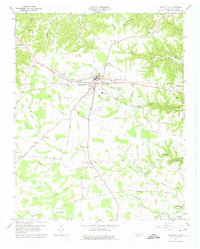
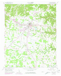
Editions of this 1960 Smithville Map
3 editions found
Other maps of this area

1893 · Mc Minnville
USGS Topo · 1:125,000

1895 · Mc Minnville
USGS Topo · 1:125,000

1928 · Gordonsville
USGS Topo · 1:62,500

1942 · Statesville
USGS Topo · 1:100,000

1943 · Cookeville
USGS Topo · 1:100,000

1944 · Cookeville
USGS Topo · 1:100,000

1953 · Chattanooga
USGS Topo · 1:250,000

1956 · Silver Point
USGS Topo · 1:24,000

1956 · Corbin
USGS Topo · 1:250,000

1957 · Chattanooga
USGS Topo · 1:250,000