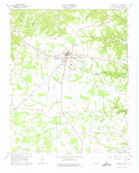
1960 Map of Smithville
USGS Topo · Published 1975About this map
The county seat of Smithville sits at the crossroads of middle Tennessee, serving as a hub for the surrounding agricultural and rural communities during the mid-twentieth century. This 1960 field-checked survey reveals a landscape where traditional institutions like Martins Chapel and Whorton Springs Ch anchor local life alongside emerging recreation and industry. To the north and east, the waters of Center Hill Lake began to reshape the topography of the Highland Rim. Notable landmarks of the era include the Drive-in Theater near Snows Hill and the municipal Landing Field, reflecting the modernization of local entertainment and transport. Outside the town center, smaller settlements like Keltonburg and Watkins maintain their own distinct identities with local schools and churches. The map also highlights industrial and natural landmarks such as Evins Mill Pond and the nearby Cul-car-mac Falls, illustrating how local water resources were utilized for both mill work and leisure.
Find a feature on this map
55 named features on this map. Tap any name to fly to it.
Don’t see what you’re looking for? This feature index may not catch every label — zoom into the map to look around manually.
Map Details
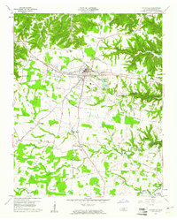
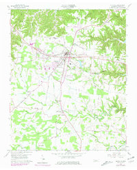
Editions of this 1960 Smithville Map
3 editions found
Other maps of this area

1893 · Mc Minnville
USGS Topo · 1:125,000

1895 · Mc Minnville
USGS Topo · 1:125,000

1928 · Gordonsville
USGS Topo · 1:62,500

1942 · Statesville
USGS Topo · 1:100,000

1943 · Cookeville
USGS Topo · 1:100,000

1944 · Cookeville
USGS Topo · 1:100,000

1953 · Chattanooga
USGS Topo · 1:250,000

1956 · Silver Point
USGS Topo · 1:24,000

1956 · Corbin
USGS Topo · 1:250,000

1957 · Chattanooga
USGS Topo · 1:250,000