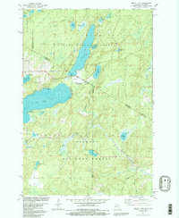
1981 Map of Smoky Lake
USGS Topo · Published 1990About this map
The Michigan-Wisconsin border cuts through this Northwoods landscape, dividing the Ottawa National Forest to the north from the Nicolet National Forest to the south. Central to this region is the elongated Smoky Lake, flanked by Little Smoky Lake and the recreational grounds of Holmes Park. The presence of the Phelps Municipal Landing Strip and multiple Boat Ramp locations indicates the area's development as a mid-century seasonal destination and forestry hub.
Find a feature on this map
40 named features on this map. Tap any name to fly to it.
Don’t see what you’re looking for? This feature index may not catch every label — zoom into the map to look around manually.
Map Details
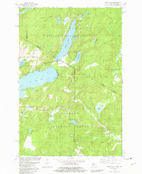
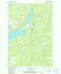
Editions of this 1981 Smoky Lake Map
3 editions found
Other maps of this area

1928 · Three Lakes
USGS Topo · 1:48,000

1938 · Phelps
USGS Topo · 1:48,000

1938 · Alvin
USGS Topo · 1:48,000

1938 · Three Lakes
USGS Topo · 1:48,000

1945 · Three Lakes
USGS Topo · 1:48,000

1946 · Alvin
USGS Topo · 1:48,000

1950 · Phelps
USGS Topo · 1:48,000

1954 · Iron Mountain
USGS Topo · 1:250,000

1956 · Beechwood
USGS Topo · 1:62,500

1956 · Phelps
USGS Topo · 1:62,500