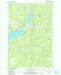
1981 Map of Smoky Lake
USGS Topo · Published 1990About this map
Smoky Lake and Big Sand Lake anchor this glaciated landscape along the border of Michigan and Wisconsin during the early 1980s. The map illustrates a recreation-oriented transition in land use, where the northern expanse within the Ottawa National Forest and the southern portion within the Nicolet National Forest are punctuated by several smaller water bodies such as Bearpaw Lake and Jewel Lake. Evidence of local infrastructure is concentrated around the larger lakes, featuring a Golf Course, multiple Boat Ramps, and the Phelps Municipal Landing Strip. The presence of several Gravel Pits and the winding course of Elvoy Creek near Elvoy Springs suggest the region's underlying geological and hydrological character. This survey provides a distinct record of the jurisdictional boundaries between Gogebic, Iron, Vilas, and Forest counties at a time when the region's wilderness character was increasingly managed for public access.
Find a feature on this map
38 named features on this map. Tap any name to fly to it.
Don’t see what you’re looking for? This feature index may not catch every label — zoom into the map to look around manually.
Map Details
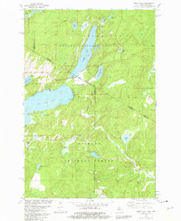
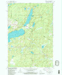
Editions of this 1981 Smoky Lake Map
3 editions found
Other maps of this area

1928 · Three Lakes
USGS Topo · 1:48,000

1938 · Phelps
USGS Topo · 1:48,000

1938 · Alvin
USGS Topo · 1:48,000

1938 · Three Lakes
USGS Topo · 1:48,000

1945 · Three Lakes
USGS Topo · 1:48,000

1946 · Alvin
USGS Topo · 1:48,000

1950 · Phelps
USGS Topo · 1:48,000

1954 · Iron Mountain
USGS Topo · 1:250,000

1956 · Beechwood
USGS Topo · 1:62,500

1956 · Phelps
USGS Topo · 1:62,500