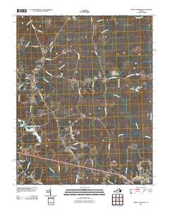
2010 Map of Smoky Ordinary
USGS Topo · Published 2010About this map
Smoky Ordinary and Callaville anchor this portion of Brunswick County, where the landscape is defined by a dense network of small watercourses and rural crossroads. The Nottoway River forms the northern boundary, fed by numerous tributaries including Sturgeon Creek, Indian Creek, and Masons Branch. Settlement patterns follow the winding routes of historic thoroughfares like Old Stage Rd and Smoky Ordinary Rd, connecting small communities such as Adsit and Poarch Store. Local history is preserved in several family and community burial grounds, including Raney Cemetery and Emmanuel Cemetery. In the southern half of the map, the landscape opens toward Freeman and Pleasant Shade, featuring larger water bodies like the Brunswick County Pond and Spangler Lake, both created by significant local impoundments like the Brunswick County Dam.
Find a feature on this map
48 named features on this map. Tap any name to fly to it.
Don’t see what you’re looking for? This feature index may not catch every label — zoom into the map to look around manually.
Map Details
Editions of this 2010 Smoky Ordinary Map
This is the sole edition of this map. No revisions or reprints were ever made.
Other maps of this area

1918 · Lawrenceville
USGS Topo · 1:62,500

1919 · Mc Kenney
USGS Topo · 1:48,000

1919 · White Plains
USGS Topo · 1:48,000

1919 · Emporia
USGS Topo · 1:62,500

1920 · Lawrenceville
USGS Topo · 1:48,000

1920 · White Plains
USGS Topo · 1:62,500

1921 · Mc Kenney
USGS Topo · 1:62,500

1921 · Lawrenceville
USGS Topo · 1:62,500

1942 · Lawrenceville
USGS Topo · 1:62,500

1942 · Emporia
USGS Topo · 1:62,500