
1937 Map of Smyrna Mills
USGS Topo · Published 1937About this map
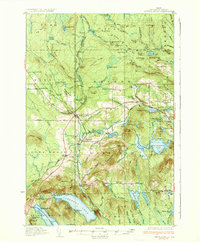
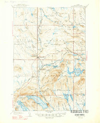
Smyrna Mills and Oakfield serve as the primary hubs in this southern Aroostook County landscape during the late 1930s. The Bangor and Aroostook RR cuts a vital industrial path through the terrain, connecting rail stops like Emerson Siding and Dudley. Local life is anchored by a network of rural schoolhouses, including the Marley Sch, Hall Sch, and Longfellow Sch, which reflect the distributed nature of the township settlements.
Find a feature on this map
125 named features on this map. Tap any name to fly to it.
Don’t see what you’re looking for? This feature index may not catch every label — zoom into the map to look around manually.
Map Details
Editions of this 1937 Smyrna Mills Map
3 editions found
Other maps of this area

1934 · Bridgewater
USGS Topo · 1:48,000

1935 · Howe Brook
USGS Topo · 1:48,000

1938 · Bridgewater
USGS Topo · 1:62,500

1938 · Houlton
USGS Topo · 1:62,500

1939 · Howe Brook
USGS Topo · 1:62,500

1940 · Amity
USGS Topo · 1:62,500

1940 · Island Falls
USGS Topo · 1:62,500

1940 · Sherman
USGS Topo · 1:62,500

1940 · Oxbow
USGS Topo · 1:62,500

1941 · Amity
USGS Topo · 1:62,500