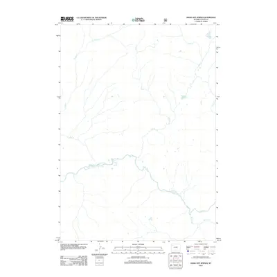
2012 Map of Snake Hot Springs
USGS Topo · Published 2012About this map
Snake Hot Springs lies at the heart of this Teton County survey, marking a geothermal presence near the banks of the Snake River. The landscape is defined by its drainage systems, where Forest Cr and Red Cr flow southward to join the river's main channel. In the northeast and east, the hydrology shifts toward high-elevation water bodies like Sheridan Lake and Basin Creek Lake, with the latter feeding into Basin Cr.
Find a feature on this map
9 named features on this map. Tap any name to fly to it.
Don’t see what you’re looking for? This feature index may not catch every label — zoom into the map to look around manually.
Map Details
Editions of this 2012 Snake Hot Springs Map
This is the sole edition of this map. No revisions or reprints were ever made.
Other maps of this area

1885 · Lake
USGS Topo · 1:125,000

1886 · Shoshone
USGS Topo · 1:125,000

1888 · Shoshone
USGS Topo · 1:125,000

1895 · Shoshone
USGS Topo · 1:125,000

1895 · Lake
USGS Topo · 1:125,000

1896 · Lake
USGS Topo · 1:125,000

1901 · Shoshone
USGS Topo · 1:125,000

1901 · Lake
USGS Topo · 1:125,000

1906 · Lake
USGS Topo · 1:125,000

1908 · Shoshone
USGS Topo · 1:125,000