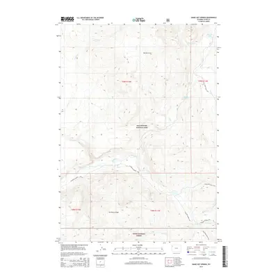
2015 Map of Snake Hot Springs
USGS Topo · Published 2015About this map
Snake Hot Springs lies at the heart of this landscape where the Snake River winds through the southern reaches of Yellowstone National Park. This 2015 survey illustrates a wilderness defined by its complex drainage systems and high-altitude terrain, including the Red Mountains to the north and Huckleberry Ridge within the Teton National Forest to the south. The area serves as a significant hydrological intersection where Harebell Cr and Coulter Cr contribute to the river's flow. A network of backcountry routes, such as the S Boundary-Harebell Trail and Wolverine Creek Trail, indicates the limited human footprint in this protected region. The presence of Sheridan Lake and Basin Cr Lake further highlights the prominence of alpine water bodies in this Teton County backcountry.
Find a feature on this map
22 named features on this map. Tap any name to fly to it.
Don’t see what you’re looking for? This feature index may not catch every label — zoom into the map to look around manually.
Map Details
Editions of this 2015 Snake Hot Springs Map
This is the sole edition of this map. No revisions or reprints were ever made.
Other maps of this area

1885 · Lake
USGS Topo · 1:125,000

1886 · Shoshone
USGS Topo · 1:125,000

1888 · Shoshone
USGS Topo · 1:125,000

1895 · Shoshone
USGS Topo · 1:125,000

1895 · Lake
USGS Topo · 1:125,000

1896 · Lake
USGS Topo · 1:125,000

1901 · Shoshone
USGS Topo · 1:125,000

1901 · Lake
USGS Topo · 1:125,000

1906 · Lake
USGS Topo · 1:125,000

1908 · Shoshone
USGS Topo · 1:125,000