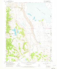
1962 Map of Snake Lake
USGS Topo · Published 1973About this map
Modoc National Forest dominates the western half of this 1962 survey, where the steep slopes of Hat Mountain and the deep cuts of Snowslide Canyon and Waterbox Canyon descend toward the floor of the Surprise Valley. The landscape is a transition from high-elevation woodland to the arid lakebeds of the Great Basin, marked by an Indefinite Boundary along the edge of Lower Lake. Water management is central to the area's utility, evidenced by the Sworinger Reservoir and its Spillway, alongside numerous named water sources like Van Riper Spring. On the valley floor, the presence of the Bare Ranch and the adjacent Bare Ranch Airport indicates the ranching-dependent economy of this borderland region near the California-Nevada state line. Dozens of drainage systems including Barber Creek, Silver Creek, and Bare Creek create a complex network of seasonal flow that sustains the remote outpost at Bare Ranch.
Find a feature on this map
26 named features on this map. Tap any name to fly to it.
Don’t see what you’re looking for? This feature index may not catch every label — zoom into the map to look around manually.
Map Details
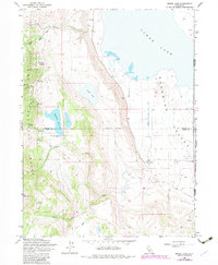
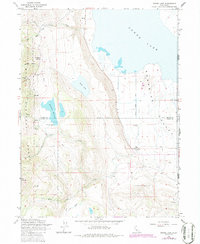
Editions of this 1962 Snake Lake Map
4 editions found
Other maps of this area

1886 · Alturas
USGS Topo · 1:250,000

1889 · Long Valley
USGS Topo · 1:250,000

1892 · Alturas
USGS Topo · 1:250,000

1954 · Vya
USGS Topo · 1:250,000

1954 · Alturas
USGS Topo · 1:250,000

1958 · Alturas
USGS Topo · 1:250,000

1958 · Vya
USGS Topo · 1:250,000

1962 · Alturas
USGS Topo · 1:250,000

1962 · Vya
USGS Topo · 1:250,000

1962 · Snake Lake
USGS Topo · 1:24,000