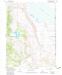
1962 Map of Snake Lake
USGS Topo · Published 1983About this map
Surprise Valley and the steep eastern escarpment of the Warner Mountains dominate this 1962 landscape. The map details a transition from the high-altitude South Warner Wilderness and Modoc National Forest down to the arid valley floor, where human activity is concentrated. Water management is a central theme, evidenced by Sworinger Reservoir, the Bare Creek Ditch, and a series of high-country springs like Van Riper Spring and Waterbox. In the valley, the Bare Ranch and the adjacent Bare Ranch Airport serve as the primary landmarks of local settlement. The terrain is marked by sharp elevation changes, from the 8,713-foot summit of Hat Mountain to the expansive flats of Lower Lake, illustrating the complex drainage patterns of Silver Creek and Barber Creek as they descend from the snowmelt zones.
Find a feature on this map
29 named features on this map. Tap any name to fly to it.
Don’t see what you’re looking for? This feature index may not catch every label — zoom into the map to look around manually.
Map Details
Editions of this 1962 Snake Lake Map
4 editions found
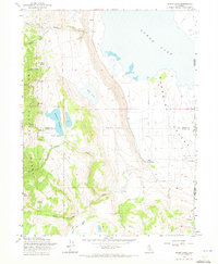
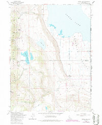
Other maps of this area

1886 · Alturas
USGS Topo · 1:250,000

1889 · Long Valley
USGS Topo · 1:250,000

1892 · Alturas
USGS Topo · 1:250,000

1954 · Vya
USGS Topo · 1:250,000

1954 · Alturas
USGS Topo · 1:250,000

1958 · Alturas
USGS Topo · 1:250,000

1958 · Vya
USGS Topo · 1:250,000

1962 · Alturas
USGS Topo · 1:250,000

1962 · Vya
USGS Topo · 1:250,000

1962 · Snake Lake
USGS Topo · 1:24,000