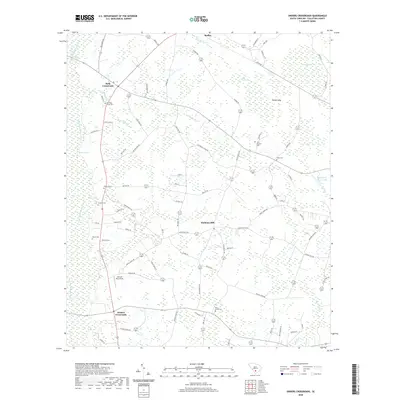
2020 Map of Sniders Crossroads
USGS Topo · Published 2020About this map
Sniders Crossroads serves as a central hub for this rural stretch of South Carolina, where the low-lying wetlands of Colleton County define the settlement patterns. The landscape is characterized by its numerous small burial grounds, such as John Herndon Cem and Old Field Creek Cem, which offer significant genealogical value for researchers tracing local families. The drainage network of the Little Salkehatchie River and Oldfield Creek winds through the region, punctuated by geographic depressions like Deep Bottom Bay and Parkers Bay.
Find a feature on this map
76 named features on this map. Tap any name to fly to it.
Don’t see what you’re looking for? This feature index may not catch every label — zoom into the map to look around manually.
Map Details
Editions of this 2020 Sniders Crossroads Map
This is the sole edition of this map. No revisions or reprints were ever made.
Other maps of this area

1918 · Walterboro
USGS Topo · 1:62,500

1919 · Cummings
USGS Topo · 1:62,500

1919 · Lodge
USGS Topo · 1:62,500

1920 · Lodge
USGS Topo · 1:48,000

1920 · St. George
USGS Topo · 1:48,000

1921 · Lodge
USGS Topo · 1:62,500

1921 · St. George
USGS Topo · 1:62,500

1943 · Lodge
USGS Topo · 1:62,500

1943 · Orangeburg
USGS Topo · 1:125,000

1943 · Cummings
USGS Topo · 1:62,500