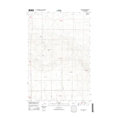
2013 Map of Snively Basin
USGS Topo · Published 2013About this map
Snively Basin defines the central landscape of this territory in Benton County, where the desert terrain is marked by a network of seasonal drainages and essential water sources. The map reveals a land utilized for ranching and environmental study, notably within the Rattlesnake Hills Research Natural Area. Human presence is anchored at the Snively Ranch and Benson Ranch, situated amidst the rugged elevations of Rattlesnake Mtn.
Find a feature on this map
32 named features on this map. Tap any name to fly to it.
Don’t see what you’re looking for? This feature index may not catch every label — zoom into the map to look around manually.
Map Details
Editions of this 2013 Snively Basin Map
This is the sole edition of this map. No revisions or reprints were ever made.
Other maps of this area

1915 · Prosser
USGS Topo · 1:125,000

1916 · Coyote Rapids
USGS Topo · 1:62,500

1917 · Priest Rapids
USGS Topo · 1:62,500

1917 · Prosser
USGS Topo · 1:125,000

1948 · Emerson Nipple
USGS Topo · 1:24,000

1950 · Grandview
USGS Topo · 1:62,500

1951 · Priest Rapids
USGS Topo · 1:62,500

1951 · Grandview
USGS Topo · 1:62,500

1951 · Corral Canyon
USGS Topo · 1:62,500

1951 · Coyote Rapids
USGS Topo · 1:62,500