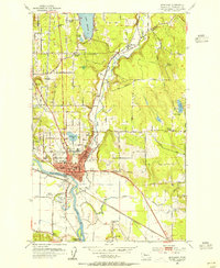
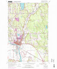
1953 Map of Snohomish
USGS Topo · Published 1955About this map
The Snohomish River and Pilchuck River dominate this mid-century landscape, converging near the established town of Snohomish. The map reveals a complex water system including Blackmans Lake and Lake Stevens, alongside industrial infrastructure like the Panther Creek Chlorination Sta and multiple pipe lines. Low-lying wetlands such as Hanson Slough and Batt Slough contrast with the rising elevations of Fobes Hill and Lord Hill.
Find a feature on this map
49 named features on this map. Tap any name to fly to it.
Don’t see what you’re looking for? This feature index may not catch every label — zoom into the map to look around manually.
Map Details
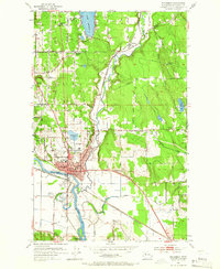
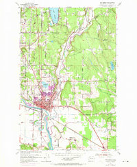
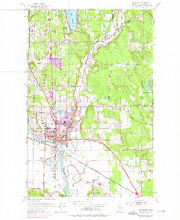
Editions of this 1953 Snohomish Map
5 editions found
Other maps of this area

1895 · Snohomish
USGS Topo · 1:125,000

1897 · Seattle
USGS Topo · 1:125,000

1899 · Stillaguamish
USGS Topo · 1:125,000

1901 · Stilaguamish
USGS Topo · 1:125,000

1911 · Mount Vernon
USGS Topo · 1:125,000

1921 · Sultan
USGS Topo · 1:125,000

1923 · Sultan
USGS Topo · 1:125,000

1941 · Marysville
USGS Topo · 1:62,500

1943 · Marysville
USGS Topo · 1:62,500

1944 · Everett
USGS Topo · 1:62,500