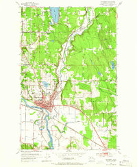
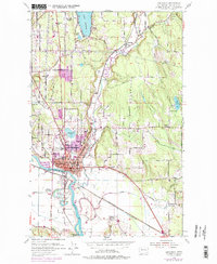
1953 Map of Snohomish
USGS Topo · Published 1966About this map
Snohomish sits at the confluence of the Pilchuck River and the winding Snohomish River, serving as a busy junction for the Northern Pacific, Great Northern, and C M St P & P railroads. In the early 1950s, the surrounding valley was characterized by a mix of agriculture and industry, with a prominent Substation and the Snohomish Airfield located just south of the town center. The landscape transitions from the river flats near Hanson Slough to the higher elevations of Forbes Hill and Lord Hill, where rural settlements like Machias and Roosevelt began to grow.
Find a feature on this map
51 named features on this map. Tap any name to fly to it.
Don’t see what you’re looking for? This feature index may not catch every label — zoom into the map to look around manually.
Map Details
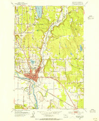
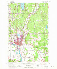
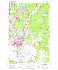
Editions of this 1953 Snohomish Map
5 editions found
Other maps of this area

1895 · Snohomish
USGS Topo · 1:125,000

1897 · Seattle
USGS Topo · 1:125,000

1899 · Stillaguamish
USGS Topo · 1:125,000

1901 · Stilaguamish
USGS Topo · 1:125,000

1911 · Mount Vernon
USGS Topo · 1:125,000

1921 · Sultan
USGS Topo · 1:125,000

1923 · Sultan
USGS Topo · 1:125,000

1941 · Marysville
USGS Topo · 1:62,500

1943 · Marysville
USGS Topo · 1:62,500

1944 · Everett
USGS Topo · 1:62,500