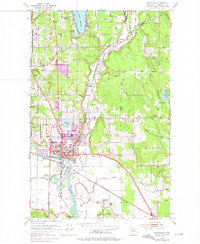
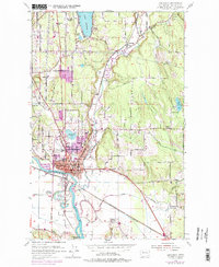
1953 Map of Snohomish
USGS Topo · Published 1975About this map
The Snohomish River and the Pilchuck River converge in this 1950s survey, anchoring the historic town of Snohomish. The map illustrates a landscape transitioning between its agricultural roots and mid-century growth, featuring prominent landmarks like the Harvey Airfield and the Burlington Northern railroad lines. The residential development of the era is marked by the purple tinting added during the 1970s photorevision, showing expansion near Blackmans Lake and Fobes Hill.
Find a feature on this map
46 named features on this map. Tap any name to fly to it.
Don’t see what you’re looking for? This feature index may not catch every label — zoom into the map to look around manually.
Map Details
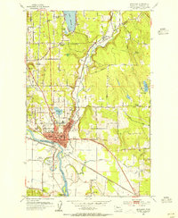
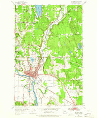
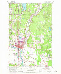
Editions of this 1953 Snohomish Map
5 editions found
Other maps of this area

1895 · Snohomish
USGS Topo · 1:125,000

1897 · Seattle
USGS Topo · 1:125,000

1899 · Stillaguamish
USGS Topo · 1:125,000

1901 · Stilaguamish
USGS Topo · 1:125,000

1911 · Mount Vernon
USGS Topo · 1:125,000

1921 · Sultan
USGS Topo · 1:125,000

1923 · Sultan
USGS Topo · 1:125,000

1941 · Marysville
USGS Topo · 1:62,500

1943 · Marysville
USGS Topo · 1:62,500

1944 · Everett
USGS Topo · 1:62,500