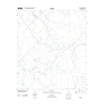
2013 Map of Snook
USGS Topo · Published 2013About this map
Snook serves as the primary hub of this Burleson County landscape, where the intersection of FM-60 and FM-2155 anchors a grid of residential streets including Kovar St and Park St. The surrounding countryside is defined by an intricate drainage system feeding into Davidson Cr and the Old River, with low-lying features like Grassy Slough and Cottonwood Bayou illustrating the alluvial nature of the Brazos River Valley borderlands. Small settlements such as Merle and Wilcox appear as quiet junctions amidst a network of county roads.
Find a feature on this map
63 named features on this map. Tap any name to fly to it.
Don’t see what you’re looking for? This feature index may not catch every label — zoom into the map to look around manually.
Map Details
Editions of this 2013 Snook Map
This is the sole edition of this map. No revisions or reprints were ever made.
Other maps of this area

1914 · Gay Hill
USGS Topo · 1:62,500

1954 · Austin
USGS Topo · 1:250,000

1956 · Bryan
USGS Topo · 1:62,500

1956 · Caldwell
USGS Topo · 1:62,500

1956 · Somerville
USGS Topo · 1:62,500

1959 · Gay Hill
USGS Topo · 1:24,000

1959 · Clay
USGS Topo · 1:24,000

1959 · Somerville
USGS Topo · 1:24,000

1959 · Independence
USGS Topo · 1:24,000

1960 · Lyons
USGS Topo · 1:24,000