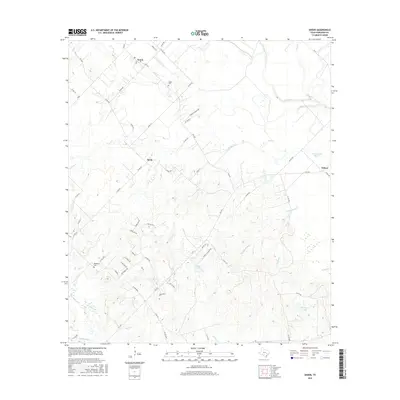
2016 Map of Snook
USGS Topo · Published 2016About this map
Snook and the smaller settlements of Merle and Wilcox anchor this agricultural region of Burleson County, where the Brazos River bottomlands transition into the rolling uplands. The drainage patterns are a defining characteristic, with the Old River and Cottonwood Bayou snaking through the eastern lowlands, while Davidson Cr and Rough Bayou drain the southwestern reaches. Local genealogy and land use history are preserved in the naming of rural landmarks such as Snook Cem and Woodfork Cem, along with private holdings like Baumann Ranch Rd. The landscape is dotted with several significant water bodies including Schutte Lake and Hutchings Lake, which alongside features like Grassy Slough, indicate a terrain shaped by historical river shifts and seasonal overflows. This survey provides a clear view of the rural road network, including the farm-to-market roads and county lanes that connect these long-standing Texas communities.
Find a feature on this map
65 named features on this map. Tap any name to fly to it.
Don’t see what you’re looking for? This feature index may not catch every label — zoom into the map to look around manually.
Map Details
Editions of this 2016 Snook Map
This is the sole edition of this map. No revisions or reprints were ever made.
Other maps of this area

1914 · Gay Hill
USGS Topo · 1:62,500

1954 · Austin
USGS Topo · 1:250,000

1956 · Bryan
USGS Topo · 1:62,500

1956 · Caldwell
USGS Topo · 1:62,500

1956 · Somerville
USGS Topo · 1:62,500

1959 · Gay Hill
USGS Topo · 1:24,000

1959 · Clay
USGS Topo · 1:24,000

1959 · Somerville
USGS Topo · 1:24,000

1959 · Independence
USGS Topo · 1:24,000

1960 · Lyons
USGS Topo · 1:24,000