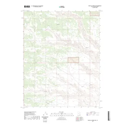
2023 Map of Snow Flat Spring Cave
USGS Topo · Published 2023About this map
Nevills Arch stands as a prominent landmark within this high-desert landscape, where the deeply incised drainages of Owl Creek and Fish Creek carve through the plateau. This 2023 survey by the U.S. Geological Survey captures the intricate topography of Cedar Mesa, a region defined by its expansive flats and canyon systems. The map details a network of backcountry routes, including Co RD 237 and the well-known Cigarette Springs Rd, which provide access to the remote interior.
Find a feature on this map
11 named features on this map. Tap any name to fly to it.
Don’t see what you’re looking for? This feature index may not catch every label — zoom into the map to look around manually.
Map Details
Editions of this 2023 Snow Flat Spring Cave Map
This is the sole edition of this map. No revisions or reprints were ever made.
Other maps of this area

1886 · Abajo
USGS Topo · 1:250,000

1892 · Abajo
USGS Topo · 1:250,000

1893 · Abajo
USGS Topo · 1:250,000

1935 · Elk Ridge
USGS Topo · 1:96,000

1940 · Elk Ridge
USGS Topo · 1:125,000
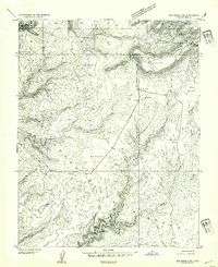
1954 · Elk Ridge 3 SW
USGS Topo · 1:24,000

1954 · Elk Ridge 3 SE
USGS Topo · 1:24,000

1954 · Bears Ears
USGS Topo · 1:62,500

1956 · Cortez
USGS Topo · 1:250,000

1957 · Brushy Basin Wash
USGS Topo · 1:62,500