
1901 Map of Snow Hill
USGS Topo · Published 1901About this map
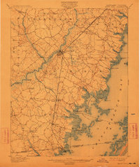
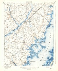
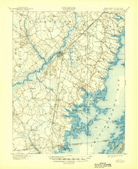
Snow Hill serves as the focal point of this 1900 survey, situated along the winding Pocomoke River where a Steamboat Route navigates the channel toward the Chesapeake. This era shows a landscape defined by its interface with the water, where numerous landings like Mattaponi Landing, Milburn Landing, and Taylor Landing supported the local maritime economy. Further east, the map details the intricate shoreline of Chincoteague Bay, revealing isolated coastal settlements and the marshy reaches of Striking Marsh and Big Bay Pt..
Find a feature on this map
84 named features on this map. Tap any name to fly to it.
Don’t see what you’re looking for? This feature index may not catch every label — zoom into the map to look around manually.
Map Details
Editions of this 1901 Snow Hill Map
4 editions found
Other maps of this area

1901 · Salisbury
USGS Topo · 1:62,500

1901 · Green Run
USGS Topo · 1:62,500

1901 · Ocean City
USGS Topo · 1:62,500

1902 · Pittsville
USGS Topo · 1:62,500

1938 · Green Run
USGS Topo · 1:62,500

1942 · Ocean City
USGS Topo · 1:62,500

1942 · Chincoteague East
USGS Topo · 1:24,000

1942 · Ninepin
USGS Topo · 1:24,000

1942 · Snow Hill
USGS Topo · 1:24,000

1942 · Wango
USGS Topo · 1:24,000