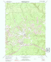
1960 Map of Snow Shoe
USGS Topo · Published 1988About this map
Snow Shoe and Clarence serve as the primary hubs in this central Pennsylvania landscape, reflecting an economy built on natural resource extraction and transportation. The terrain is marked by numerous Strip Mine operations that pockmark the hillsides between the drainage of North Fork Beech Creek and South Fork Beech Creek. Small, discrete settlements like Old Side, Poorman Side, and Shettleston speak to the region's coal and clay mining history, while the presence of the Penn Central railroad grade provides the critical link for moving local products to market.
Find a feature on this map
65 named features on this map. Tap any name to fly to it.
Don’t see what you’re looking for? This feature index may not catch every label — zoom into the map to look around manually.
Map Details
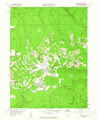
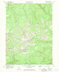
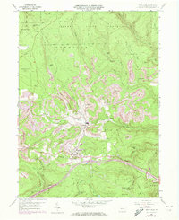
Editions of this 1960 Snow Shoe Map
4 editions found
Other maps of this area

1908 · Bellefonte
USGS Topo · 1:62,500

1909 · Bellefonte
USGS Topo · 1:62,500

1922 · Philipsburg
USGS Topo · 1:62,500

1928 · Snow Shoe
USGS Topo · 1:48,000

1929 · Karthaus
USGS Topo · 1:62,500

1931 · Show Shoe
USGS Topo · 1:62,500

1932 · Karthaus
USGS Topo · 1:62,500

1939 · Philipsburg
USGS Topo · 1:62,500

1943 · Lewistown
USGS Topo · 1:125,000

1945 · Philipsburg
USGS Topo · 1:62,500