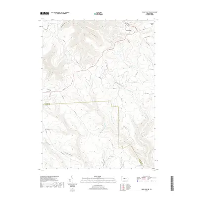
2019 Map of Snow Shoe NE
USGS Topo · Published 2019About this map
Clemson Island sits at the northern edge of this high Allegheny landscape, marking a distinctive point in the regional drainage system where the Dennison Fork and Smith Run contribute to a complex network of deep-cut hollows. This 2019 survey documents the rugged intersection of the Clinton and Centre county line, an area defined by extensive forest management and fire protection infrastructure. The presence of Splash Dam Hollow indicates a history of log driving and early timber operations, while names like Fetzer Hollow and Owl Hollow reflect the traditional nomenclature of local settlers and hunters. Access through this terrain is maintained via a grid of specialized routes including Fisher Fire Rd and the extensive Chuck Keiper Trl, illustrating the contemporary use of the Bear Creek Forest for both resource management and remote recreation.
Find a feature on this map
57 named features on this map. Tap any name to fly to it.
Don’t see what you’re looking for? This feature index may not catch every label — zoom into the map to look around manually.
Map Details
Editions of this 2019 Snow Shoe NE Map
This is the sole edition of this map. No revisions or reprints were ever made.
Other maps of this area

1921 · Howard
USGS Topo · 1:48,000

1923 · Howard
USGS Topo · 1:62,500

1928 · Snow Shoe
USGS Topo · 1:48,000

1931 · Show Shoe
USGS Topo · 1:62,500

1943 · Hyner
USGS Topo · 1:62,500

1946 · Renovo East
USGS Topo · 1:62,500

1946 · Renovo West
USGS Topo · 1:62,500

1946 · Keating
USGS Topo · 1:24,000

1946 · Renovo East
USGS Topo · 1:24,000

1946 · Renovo West
USGS Topo · 1:24,000
Featured Places
- State Camp, Noyes Township
- Burnside Township, PA
- Snow Shoe Township, PA
- Beech Creek Township, PA
- Noyes Township, PA