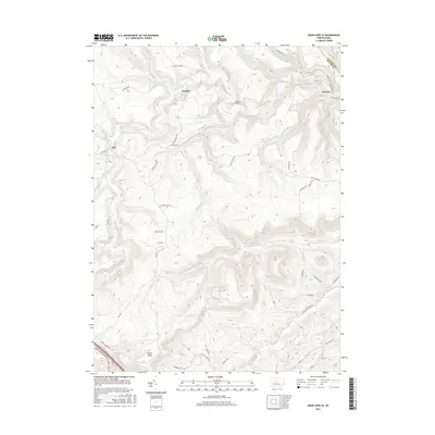
2016 Map of Snow Shoe SE
USGS Topo · Published 2016About this map
Beech Creek defines the lower elevations of this Central Pennsylvania landscape, carving through a region where the Clinton and Centre County boundary meets. The settlement of Orviston sits in the northeast corner at the base of the ridges, connected to the western community of Kato by a network of logging and access roads including the Kato Orviston Rd. The topography is marked by significant elevation changes, notably at the Hogback Tunnel and the southern feature known as Devils Elbow.
Find a feature on this map
52 named features on this map. Tap any name to fly to it.
Don’t see what you’re looking for? This feature index may not catch every label — zoom into the map to look around manually.
Map Details
Editions of this 2016 Snow Shoe SE Map
This is the sole edition of this map. No revisions or reprints were ever made.
Other maps of this area

1908 · Bellefonte
USGS Topo · 1:62,500

1909 · Bellefonte
USGS Topo · 1:62,500

1921 · Howard
USGS Topo · 1:48,000

1923 · Howard
USGS Topo · 1:62,500

1924 · Centre Hall
USGS Topo · 1:62,500

1928 · Snow Shoe
USGS Topo · 1:48,000

1929 · Centre Hall
USGS Topo · 1:62,500

1931 · Show Shoe
USGS Topo · 1:62,500

1943 · Lewistown
USGS Topo · 1:125,000

1950 · Harrisburg
USGS Topo · 1:250,000