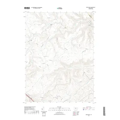
2019 Map of Snow Shoe SE
USGS Topo · Published 2019About this map
Orviston and Kato serve as the primary human hubs in this deeply dissected terrain along the border of Centre and Clinton Counties. The drainage pattern is dominated by Beech Creek and its many tributaries, including Panther Run and Eddy Lick Run, which have carved steep valleys through Eddy Ridge. This landscape is defined by the tension between industrial infrastructure and natural obstacles, exemplified by the Hogback Tunnel and the sharp winding descent of Devils Elbow along the southern edge.
Find a feature on this map
54 named features on this map. Tap any name to fly to it.
Don’t see what you’re looking for? This feature index may not catch every label — zoom into the map to look around manually.
Map Details
Editions of this 2019 Snow Shoe SE Map
This is the sole edition of this map. No revisions or reprints were ever made.
Other maps of this area

1908 · Bellefonte
USGS Topo · 1:62,500

1909 · Bellefonte
USGS Topo · 1:62,500

1921 · Howard
USGS Topo · 1:48,000

1923 · Howard
USGS Topo · 1:62,500

1924 · Centre Hall
USGS Topo · 1:62,500

1928 · Snow Shoe
USGS Topo · 1:48,000

1929 · Centre Hall
USGS Topo · 1:62,500

1931 · Show Shoe
USGS Topo · 1:62,500

1943 · Lewistown
USGS Topo · 1:125,000

1950 · Harrisburg
USGS Topo · 1:250,000