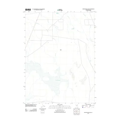
2012 Map of Snow Water Lake
USGS Topo · Published 2012About this map
Snow Water Lake and the wide expanse of Clover Valley dominate this Great Basin landscape in northeastern Nevada. For historians and travelers, the most significant human imprint here is the Hastings Cutoff, the infamous alternative route of the California Trail that passes along the southern edge of the lake. The hydrology of the region is well-defined by seasonal drainages such as Johnson Cr, Honeyman Cr, and Steele Cr, which feed into the valley floor. Water management for ranching or irrigation is evident through features like Weeks Reservoir and Tobar Reservoir. The map illustrates the delicate balance of water in this high-desert environment, where creeks often terminate in The Slough or the alkaline bed of the lake itself.
Find a feature on this map
11 named features on this map. Tap any name to fly to it.
Don’t see what you’re looking for? This feature index may not catch every label — zoom into the map to look around manually.
Map Details
Editions of this 2012 Snow Water Lake Map
This is the sole edition of this map. No revisions or reprints were ever made.
Other maps of this area

1935 · Halleck
USGS Topo · 1:125,000

1953 · Spruce Mountain
USGS Topo · 1:62,500

1955 · Elko
USGS Topo · 1:250,000

1958 · Elko
USGS Topo · 1:250,000

1962 · Elko
USGS Topo · 1:250,000

1965 · Elko
USGS Topo · 1:250,000

1968 · Snow Water Lake
USGS Topo · 1:24,000

1968 · Ventosa
USGS Topo · 1:24,000
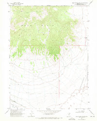
1968 · Snow Water Lake NE
USGS Topo · 1:24,000
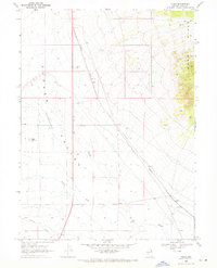
1968 · Tobar
USGS Topo · 1:24,000