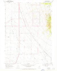
1968 Map of Tobar
USGS Topo · Published 1971About this map
The Western Pacific railroad corridor dominates this high-desert basin in Elko County, defining the development of small sidings and junctions like Tobar and Ruby. Situated within the Clover Valley (Depression), the landscape is characterized by its internal drainage systems and low-lying alkali flats, where seasonal water is traced through the Slough, Steele Creek, and Johnson Creek. To the east, the topography rises sharply into the Wood Hills, providing a stark contrast to the valley floor. Evidence of the region's transport and industrial infrastructure is visible in the scattered Borrow Pits, a navigation Beacon, and the prominent Mound that rises from the flat basin. This survey documents a remote ranching and rail landscape where water management and railroad operations were the primary drivers of human presence.
Find a feature on this map
14 named features on this map. Tap any name to fly to it.
Don’t see what you’re looking for? This feature index may not catch every label — zoom into the map to look around manually.
Map Details
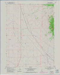
Editions of this 1968 Tobar Map
2 editions found
Other maps of this area

1935 · Halleck
USGS Topo · 1:125,000

1955 · Wells
USGS Topo · 1:250,000

1955 · Elko
USGS Topo · 1:250,000

1958 · Wells
USGS Topo · 1:250,000

1958 · Elko
USGS Topo · 1:250,000

1961 · Wells
USGS Topo · 1:250,000

1962 · Elko
USGS Topo · 1:250,000

1965 · Elko
USGS Topo · 1:250,000

1967 · Welcome
USGS Topo · 1:24,000

1968 · Moor Summit
USGS Topo · 1:24,000