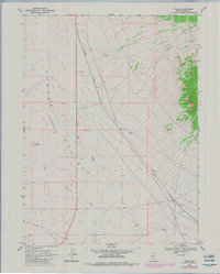
1968 Map of Tobar
USGS Topo · Published 1983About this map
The Western Pacific railroad cuts a diagonal line across the high desert floor of Elko County, anchoring the small settlements of Tobar and Ruby during the late 1960s. This landscape is defined by the broad Clover Valley, a vast sink where ephemeral water courses like Steele Creek and Johnson Creek drain toward The Slough. The topography transitions sharply on the eastern edge of the map, rising into the timbered slopes of the Wood Hills.
Find a feature on this map
15 named features on this map. Tap any name to fly to it.
Don’t see what you’re looking for? This feature index may not catch every label — zoom into the map to look around manually.
Map Details
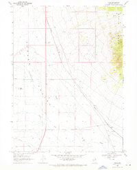
Editions of this 1968 Tobar Map
2 editions found
Other maps of this area

1935 · Halleck
USGS Topo · 1:125,000

1955 · Wells
USGS Topo · 1:250,000

1955 · Elko
USGS Topo · 1:250,000

1958 · Wells
USGS Topo · 1:250,000

1958 · Elko
USGS Topo · 1:250,000

1961 · Wells
USGS Topo · 1:250,000

1962 · Elko
USGS Topo · 1:250,000

1965 · Elko
USGS Topo · 1:250,000

1967 · Welcome
USGS Topo · 1:24,000

1968 · Moor Summit
USGS Topo · 1:24,000