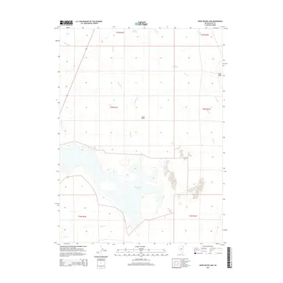
2015 Map of Snow Water Lake
USGS Topo · Published 2015About this map
Snow Water Lake and the surrounding basin of Clover Valley dominate this high-desert landscape in Elko County. The hydrology of the area is defined by seasonal water movements, where intermittent streams like Steele Cr and Johnson Cr feed into the lake or towards The Slough. Water management for ranching and local use is evident through features such as Weeks Reservoir and Tobar Reservoir, which capture the limited runoff from the surrounding uplands. To the east, the elevation rises toward Black Ridge, while the western edge of the quadrangle is traversed by the corridor of highway 93. This 2015 survey illustrates a rural Nevada environment where the availability of water, indicated by Warm Cr and Honeyman Cr, remains the primary factor in land utilization and geographic character.
Find a feature on this map
18 named features on this map. Tap any name to fly to it.
Don’t see what you’re looking for? This feature index may not catch every label — zoom into the map to look around manually.
Map Details
Editions of this 2015 Snow Water Lake Map
This is the sole edition of this map. No revisions or reprints were ever made.
Other maps of this area

1935 · Halleck
USGS Topo · 1:125,000

1953 · Spruce Mountain
USGS Topo · 1:62,500

1955 · Elko
USGS Topo · 1:250,000

1958 · Elko
USGS Topo · 1:250,000

1962 · Elko
USGS Topo · 1:250,000

1965 · Elko
USGS Topo · 1:250,000

1968 · Snow Water Lake
USGS Topo · 1:24,000

1968 · Ventosa
USGS Topo · 1:24,000
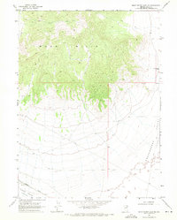
1968 · Snow Water Lake NE
USGS Topo · 1:24,000
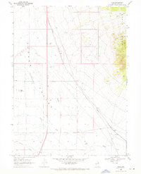
1968 · Tobar
USGS Topo · 1:24,000