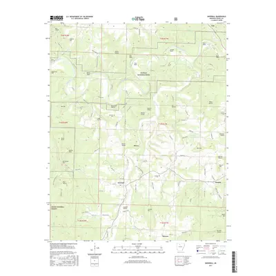
2017 Map of Snowball
USGS Topo · Published 2017About this map
The Buffalo National River carves a winding path through the northern reaches of this Searcy County landscape, passing through dramatic landmarks like Red Bluff and White Bluff. This region of the Ozarks is defined by its deep hollows and high points, such as Granny Mtn and Point Peter, where the rugged terrain historically shaped settlement patterns. The map document local genealogy through several family burial sites, including Abbey Cem, Slay Cem, and Whisenant Cem.
Find a feature on this map
116 named features on this map. Tap any name to fly to it.
Don’t see what you’re looking for? This feature index may not catch every label — zoom into the map to look around manually.
Map Details
Editions of this 2017 Snowball Map
This is the sole edition of this map. No revisions or reprints were ever made.
Other maps of this area

1892 · Marshall
USGS Topo · 1:125,000

1893 · Yellville
USGS Topo · 1:125,000

1894 · Marshall
USGS Topo · 1:125,000

1901 · Marshall
USGS Topo · 1:125,000

1903 · Yellville
USGS Topo · 1:125,000

1905 · Yellville
USGS Topo · 1:125,000

1929 · Yellville
USGS Topo · 1:125,000

1939 · Snowball
USGS Topo · 1:62,500

1941 · Snowball
USGS Topo · 1:62,500

1942 · Snowball
USGS Topo · 1:62,500