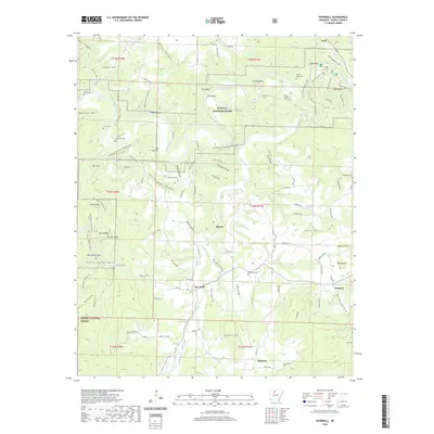
2020 Map of Snowball
USGS Topo · Published 2020About this map
The Buffalo National River snakes through the northern half of this Searcy County quadrangle, carving deep bends like Arnold Bend and Tyler Bend beneath towering limestone features such as Red Bluff and White Bluff. The landscape is a network of ridges and hollows, including the prominent Point Peter Mtn and Granny Mtn, where the Ozark National Forest begins its reach. Settlement is concentrated in small valley communities like Snowball and Blanco, connected by winding roads and several trails such as the Ozark Highlands Trail. For genealogists and local historians, the map identifies numerous family burial grounds, including the Slay Cem, Whisnant Cem, and DePriest Cem, many situated near ancestral homesteads in the rugged terrain surrounding Calf Creek.
Find a feature on this map
121 named features on this map. Tap any name to fly to it.
Don’t see what you’re looking for? This feature index may not catch every label — zoom into the map to look around manually.
Map Details
Editions of this 2020 Snowball Map
This is the sole edition of this map. No revisions or reprints were ever made.
Other maps of this area

1892 · Marshall
USGS Topo · 1:125,000

1893 · Yellville
USGS Topo · 1:125,000

1894 · Marshall
USGS Topo · 1:125,000

1901 · Marshall
USGS Topo · 1:125,000

1903 · Yellville
USGS Topo · 1:125,000

1905 · Yellville
USGS Topo · 1:125,000

1929 · Yellville
USGS Topo · 1:125,000

1939 · Snowball
USGS Topo · 1:62,500

1941 · Snowball
USGS Topo · 1:62,500

1942 · Snowball
USGS Topo · 1:62,500