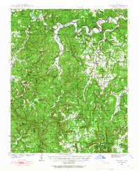
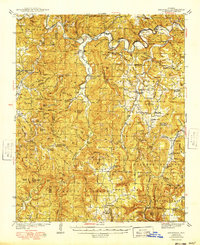
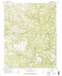
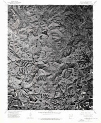
1939 Map of Snowball
USGS Topo · Published 1967This historical map portrays the area of Snowball in 1939, primarily covering Searcy County as well as portions of Newton County. Featuring a scale of 1:62500, this map provides a highly detailed snapshot of the terrain, roads, buildings, counties, and historical landmarks in the Snowball region at the time. Published in 1967, it is one of 2 known editions of this map due to revisions or reprints.
Find a feature on this map
120 named features on this map. Tap any name to fly to it.
Don’t see what you’re looking for? This feature index may not catch every label — zoom into the map to look around manually.
Map Details
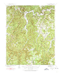
Editions of this 1939 Snowball Map
2 editions found
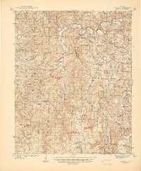
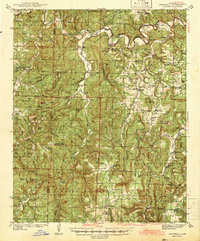
Historical Maps of Eula Through Time
14 maps found
1939 Snowball
Searcy County, AR
1941 Snowball
Searcy County, AR
1942 Snowball
Searcy County, AR
1949 Snowball
Searcy County, AR
1962 Canaan
Searcy County, AR
1963 Harriet
Searcy County, AR
1966 Cozahome
Searcy County, AR
1966 Maumee
Searcy County, AR
1972 Landis
Searcy County, AR
1973 Oxley
Searcy County, AR
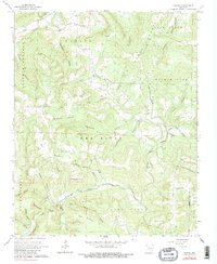
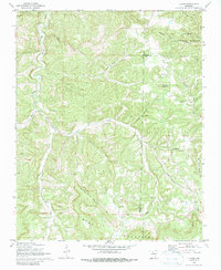
1974 Snowball SE
Searcy County, AR
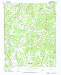
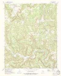
1974 Snowball SW
Searcy County, AR
1980 Moore
Searcy County, AR
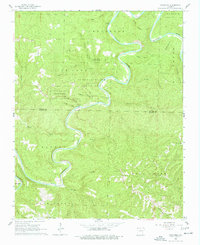
1980 Snowball
Searcy County, AR